Thursday August 16 th starts out very grey and misty with a little rain. The 10 am boat cruise doesn't seem like a good idea so we take it easy around the cabin. I don't think we were up before 9 so it was easy to lounge around. We took the 12 o'clock tour. The boat cruise was incredible .. No rain, although it was grey and dull, the Weather Network promised it would clear. We started out inside but quickly moved to the upper deck. The PA system was much better there, too. The words were much clearer. Out tour guide was very informed on all the geological details of the landforms. It was a well written script. I think it was written by Ian Brookes. We planned to stop in the afternoon at the restaurant recommended by Ian Brookes , The Seaside Restaurant in Trout River., after the boat tour. The dining room's wide picture windows sat right over the headland overlooking the bay. Since it was mid afternoon we could get a table right by the window. The view of My cod was delicious but Mom was disappointed in her shrimp. They were very ' shrimpy '.

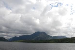


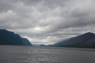
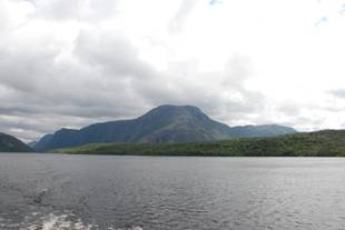
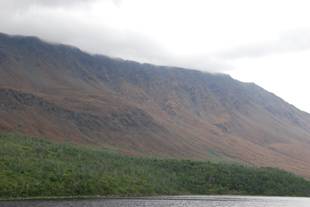
View up trout River Pond from the lookout 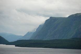
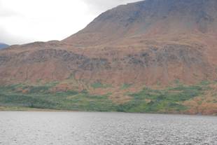
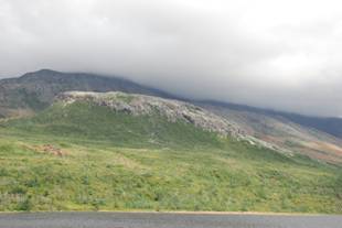
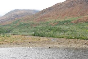
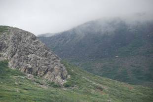
The glacially over steepened cliffs on the right are held up by st ron g gabbro , sheeted dykes and pillow basalt. On the left, the distant yellow brown slopes of the tablelands are composed of peridotite . The nearer Tablelands slope is steeped with old sagged and slumped blocks, one of which is a large gabbro mass. And there are patches of brown peridotite till dragged down -valley by the glacier. The wooded foreground on both sides of the pond, as well as the lowland on the far right, is underlain by the easily eroded mélange.
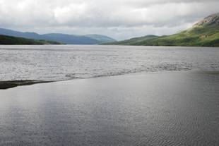
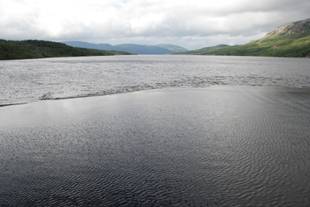
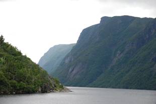
Like Trout River village, this lookout is located on a deposit of marine gravel laid down at sea level by glacial meltwater about 12 000 years ago at the margin of the retreating glacier. When the ice finally melted from Trout River ponds, the sea level flooded in forming a marine terrace at the far end of the inner pond. Uplift has now excluded the sea so that a stream, Trout River itself drains the large freshwater ponds. The lower terraces were cut as sea level returned to its present position.
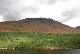

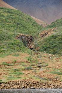

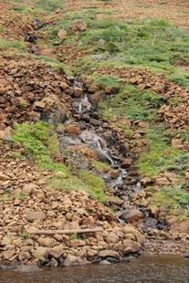


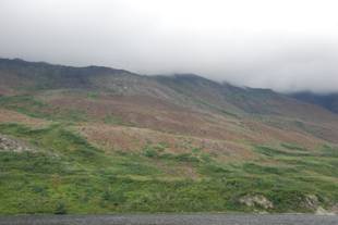
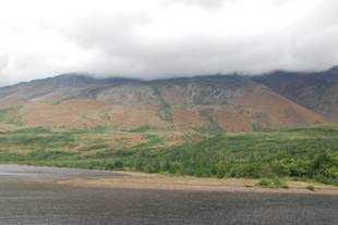
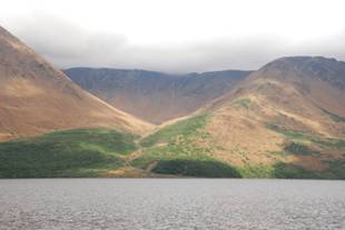
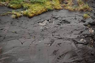
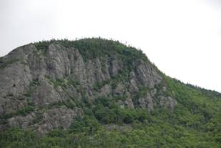
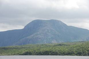
Rubble Brook (from the middle of trout River Big Pond)
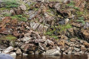
The middle part of Rubble brook valley is cut into the fractured rock of a major reverse fault which separates dark grey gabbro form dark brown peridotite . This fault, which may continue beneath the pond and be responsible for its location, also bounds the Tablelands peridotite massif.
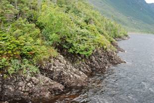
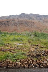
The rounded peak and ridge are composed of amphibolite , converted from volcanic rocks by heat and pressure. The y mark the base of the peridotite and were formed in the same way as those on Crow Mountain and the Peak of Tenerife . 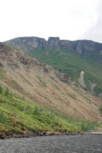

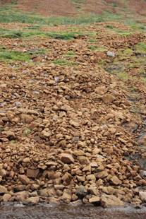

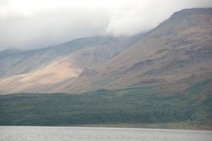
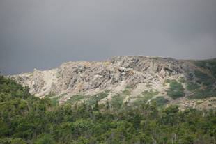
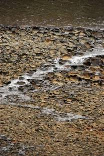
The large alluvial fan of Rubble brook and the bouldery talus slope, known locally as the "Rubbles", are both the product of postglacial collapse of the glacial over steepened trough wall. The coarse debris is till being dumped at the mouth of Rubble brook is being produced by fracturing in the upper reaches. Above the Rubbles sagging has opened up great fractures in the cliff margin, causing huge masses to slowly separate form the cliff. The blocks rarely fall suddenly; most are creeping slowly downward, breaking up and becoming smaller as they near the bottom.